Upper Peninsula of Michigan Snowfall Totals
October 2019-2020 Snow Totals for the Upper Peninsula of Michigan
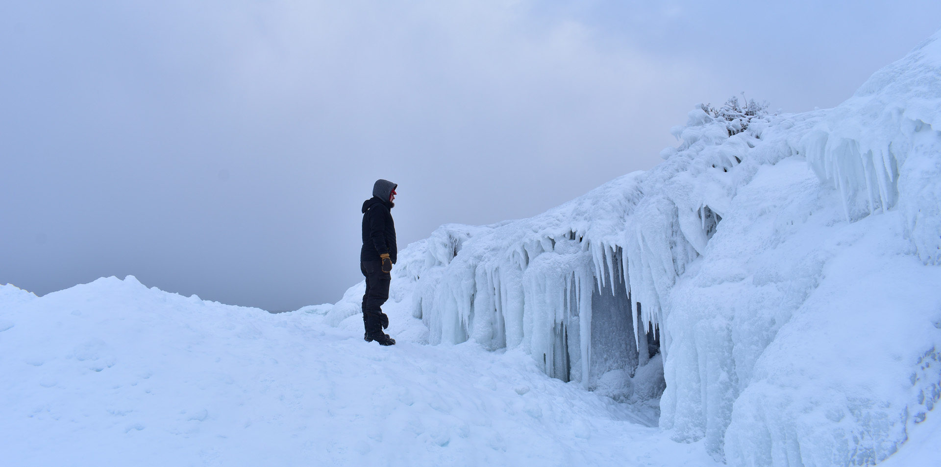
Hello all, welcome back to another winter season here in the Upper Peninsula of Michigan. This is the 8th year of snowfall reports on FunintheUP.com, thanks for following the snowfall page! FunintheUP has quickly become the #1 place for snowfall totals for those interested. .
Welcome to the Upper Peninsula of Michigan snowfall totals. This page is soley for October 2019 snowfall across the Upper Peninsula of Michigan. If you wish to view other months just find the month you want to view below. We usually see some snowflakes during the month of October here in the Upper Peninsula and it isn't unusual to see some accumulation, usually it is closer to the end of the month if it happens, this year it was around the middle of the month.
Thank you so much for following the snowfall reports for the last 8 years and your support for over the years, look forward to many more.
---Yooper Steve.

Previous Years Snowfall Totals
2018/2019 Upper Peninsula Snowfall - 2017/2018 Upper Peninsula Snowfall - 2016/2017 Upper Peninsula Snowfall - 2014/15 Upper Peninsula SnowfallTOP 10 Snowiest Locations in the Upper Peninsula - FAQ's about Snowfall in the Upper Peninsula
Top 5 snowfall amounts in the Upper Peninsula.
390.4" - 1978/79 - Keweenaw county (near Delaware)
384.0" - 1996/97 - Herman
367.4" - 1995/96 - Keweenaw county (near Delaware)
362.8" - 2018/19 - Tamarack location (near Calumet)
354.1" - 1978/79 - Houghton county airport
384.0" - 1996/97 - Herman
367.4" - 1995/96 - Keweenaw county (near Delaware)
354.1" - 1978/79 - Houghton county airport
October 28th, 2019 Snowfall
Just a little bit of snow across most of the Upper Peninsula last night and early this morning. The far western UP didn't really see anything, but a few snowflakes here and there. The higher snowfall totals came out of the eastern UP today from South of Munising over into Schoolcraft county. Keep in mind that this snowfall page will be undergoing some slight changes to make it easier to view on moble this year. Right now I am just entering the data into the html document with little coding to still provide you data while I work on the changes. Thanks for following the snowfall totals. --Yooper Steve

BERGLAND DAM - T
CALUMET - 0.5 day/1.7 total
CALUMET (TAMARACK LOC) - 0.5 day/2.2 total
CHATHAM - 3.0 (Today's High Snowfall)
CLARKSBURG - 1.5
DOLLAR BAY - 0.2 day/0.2 total
ESCANABA - T
GARDEN CORNERS - 1.7
GLADSTONE NO. 2 - 1.0
GREEN GARDEN NO.2 - 2.5
HANCOCK (QUINCY HILL) - 0.3 day/0.6 total
HARVEY - 1.8
HERMAN - 1.0
HOUGHTON DOWNTOWN - 0.2 day/0.2 total
HOUGHTON CNTY (SUPERIOR LOC) - 0.4 day/1 total
IRON RIVER (STAMBAUGH) - 0.3
JACOBSVILLE - 0.4
KEARSARGE - T
K.I. SAWYER - 3.0
MANISTIQUE - 1.0
MARQUETTE - 1.2 day/1.2 total
MICHIGAMME 3WNW - 1.2
MTU XC TRAILS - 0.3 day/0.7 total
MUNISING - 1.3
NEWBERRY - 2
NWS MARQUETTE - 1.3 day/2.8 total
PAINESDALE - 0.5 day/1.3 total
PAULDING - 0.9
WATERSMEET - 0.1
WATTON - 0.5
October 14th Snowfall
Just some light snowfall over areas of the Huron Mtns and central UP, no accumulation just flurries.
HARVEY SOUTH - THERMAN - T
JACOBSVILLE - T
ISHPEMING - T
THREE LAKES - T
THREE LAKES WEST - T
PARADISE - T
October 13th Snowfall
Snowfall for the second day, our first few days of snow for the season. It is likely to be the only snow we see for the next week or two. It is possible there might be snow in areas of the western and southern UP the next few days, but things look to warm up for the next week with a little rain here and there. Now is a great time to get your snow tires on your vehicle and those winter survival items ready. Winter is going to come in with a bang again I am sure.
AGATE BEACH - TAMASA - T
BARAGA - T
CALUMET - 0.8"
CALUMET (TAMARACK LOC) - 1.2"
DOLLAR BAY - T
GREEN GARDEN - T
GREENLAND - T
HERMAN - 1.5" (Today's High Snowfall)
HOUGHTON DOWNTOWN - T
HOUGHTON CNTY (SUPERIOR LOC) - 0.3"
IRONWOOD #2 - T
ISHPEMING - 0.5"
JACOBSVILLE - T
KEARSARGE - T
THREE LAKES WEST - 0.8"
HARVEY SOUTH - T
MARQUETTE - T
MTU XC TRAILS - 0.3"
THREE LAKES - 0.5"
PAINESDALE - 0.4"
PAULDING - 0.4"
QUINCY HILL - 0.3"
WATERSMEET - T
WATTON - 0.5"
October 12th Snowfall
First accumulation of snowfall in the Upper Peninsula. Last year our first accumulation was in Copper Harbor on Sept 29th with around 0.5 inches. It wasn't until October 4th last year when others had the first accumulation. Last year from October 10th - Oct 20th it snowed 8 times out of 10 days. I expect another heavy snowfall year and cold again. I hope we don't get the almost month long cold spell we had last season in January and February.
AGATE BEACH - TCALUMET - 0.4"
CALUMET (TAMARACK LOC) - 0.5"
CLARKSBURG - 1.0"
COVINGTON - 1.5" (Today's High Snowfall)
DOLLAR BAY - T
HERMAN - 1.0"
GARDEN CORNERS - T
HOUGHTON DOWNTOWN - T
HOUGHTON CNTY (SUPERIOR LOC) - 0.4"
IRON RIVER (STAMBAUGH) - 0.4"
IRONWOOD#2 - 1"
JACOBSVILLE - T
K.I. SAWYER - 0.8"
KEARSARGE - 0.5"
MANISTIQUE - T
MTU XC TRAILS - 0.3"
PAINESDALE - 0.4"
PAULDING - 0.2"
QUINCY HILL - T
SAULT STE MARIE -T
ST. IGNACE - T
WATERSMEET 12WSW - 0.5"
WATTON - 0.5"
October 11th Snowflakes
First snowflakes of the season. There was snowflakes and there was also graupel. Last year first snowflakes were in Clarksburg on Sept 24th.